Simulatore di elicotteri antincendio. Combatti gli incendi, salva persone e completa missioni.
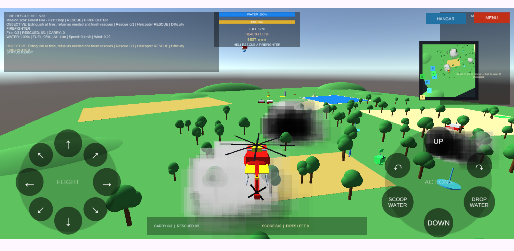
Fire Rescue Heli è un simulatore mobile di elicotteri antincendio.Diventa il pilota di un’unità di soccorso aereo e affronta pericolose missioni di emergenza. Combatti incendi boschivi, incendi di campi, incendi in edifici, incendi in fabbriche e disastri industriali. Raccogli acqua da laghi e bacini, rilasciala sulle aree in fiamme, rifornisci il tuo elicottero, salva i … Dowiedz się więcej