Photo Location Navigator
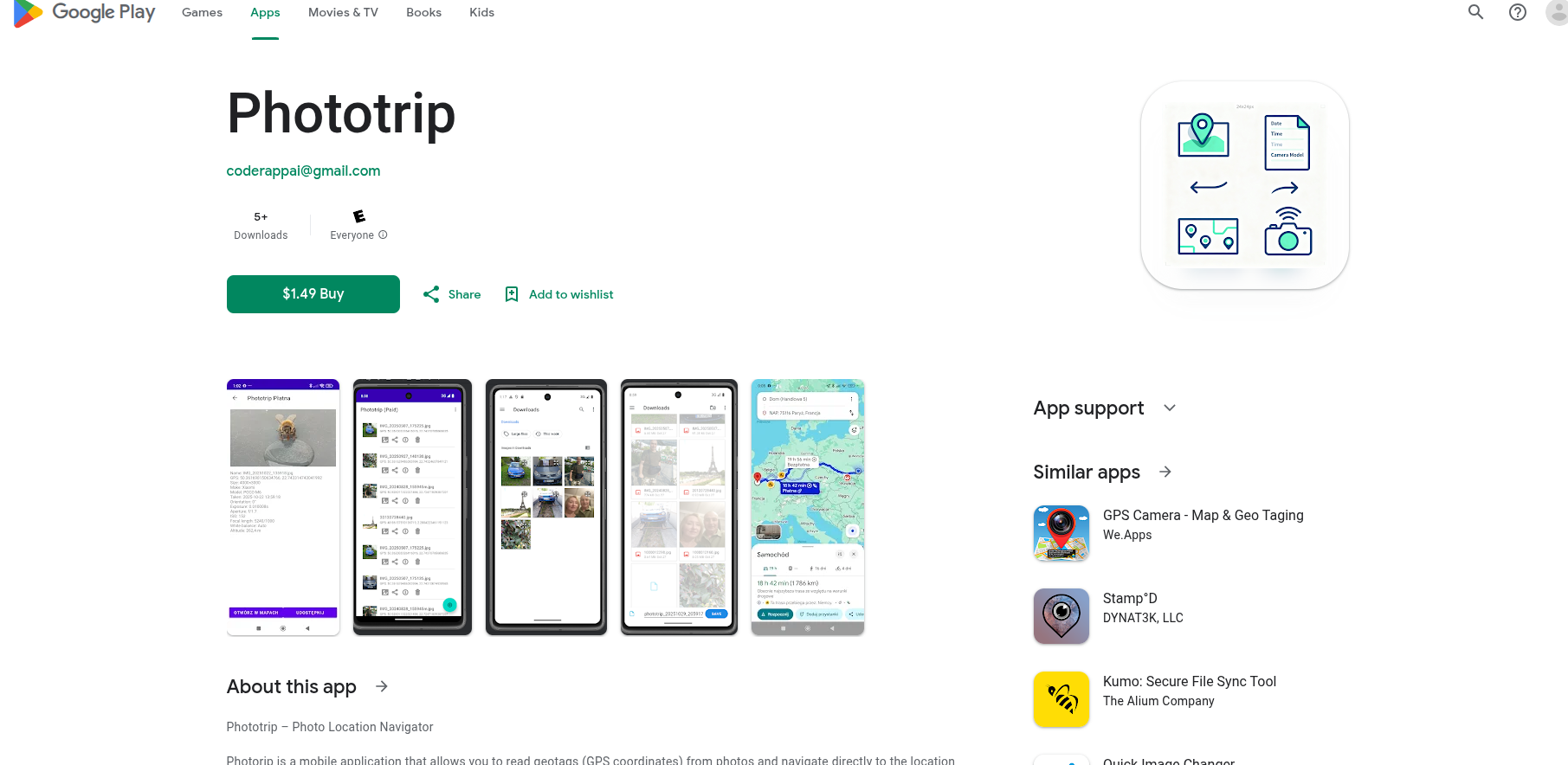
Photorip is a mobile application that allows you to read geotags (GPS coordinates) from photos and navigate directly to the location where the picture was taken. The app extracts detailed EXIF metadata — including latitude, longitude, date, time, camera model, and orientation — and displays the location on an interactive map. You can then choose … Dowiedz się więcej